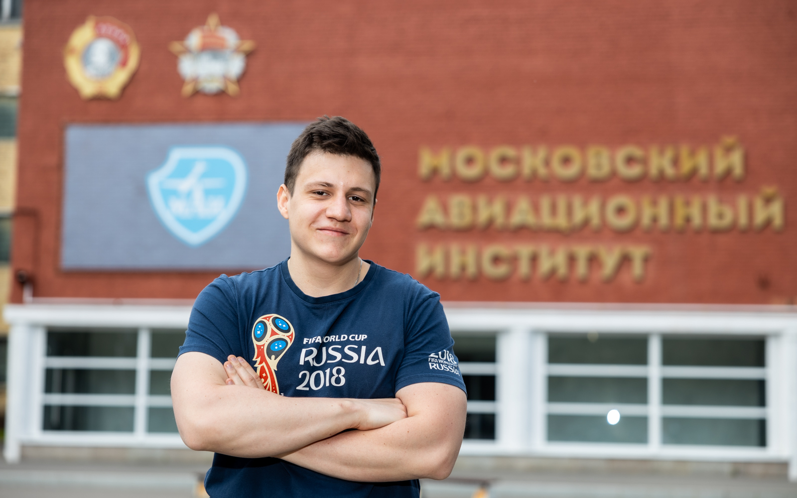
MAI students developed an application based on neural networks for sea pollution monitoring

A group of MAI students created an application for environmental monitoring of the Black Sea ports, which analyzes satellite images via neural networks. The development will make it possible to identify polluted zones that are not visible from the shore, and to identify ships that pollute the water.
The development team gathered students from Institute No. 6 "Aerospace", studying "Ecology and Nature Management": Anton Gromakov, Alexander Shpilevoy and Andrey Chernyshuk.
– The program independently collects satellite images from free sources. Next, the neural network compares the images and determines which have pollution displayed on them. For example, a dark spot is captured near the ship. Based on the shade of water, the neural network draws a conclusion about the drain and sends a signal to the regional environmental service, and it examines the photos,” said Anton Gromakov.
Comparing the data on the state of the water and the routes of the ships in the images, it is possible to determine the vessel that polluted the water. This evidence will be useful in order to fine violators and prevent similar attempts in the future. The developers are confident that their project will help improve the environment in the Russian seas.
The application was written in Python. The neural network was trained on images obtained from the publicly available European radar satellite Sentinel.
Although the training was based on images of the Black Sea, the software is universal. The developers are ready to set up the program to work in the water area of any Russian port from the Sea of Okhotsk to the Baltic Sea. Programmers need no more than a month to train the neural network to work with satellite images of the water surface of a new region.
– It will be easy and convenient for government agencies to work with our application, because, unlike us, they will not need to look for publicly available private satellites. They will have access to state-owned GLONASS satellites, which will provide the system with high accuracy and efficiency,” noted Anton Gromakov.
At the current stage, the beta version of the application is ready. The developers are ready to finalize the interface within a few months so that even technically unprepared specialists can use the program.
The idea of the project came to students in 2022 while they were studying Python at the university. In April, the work won a prize at the International Youth Scientific Conference "Gagarin Readings".