How the UAV Market is Changing Today
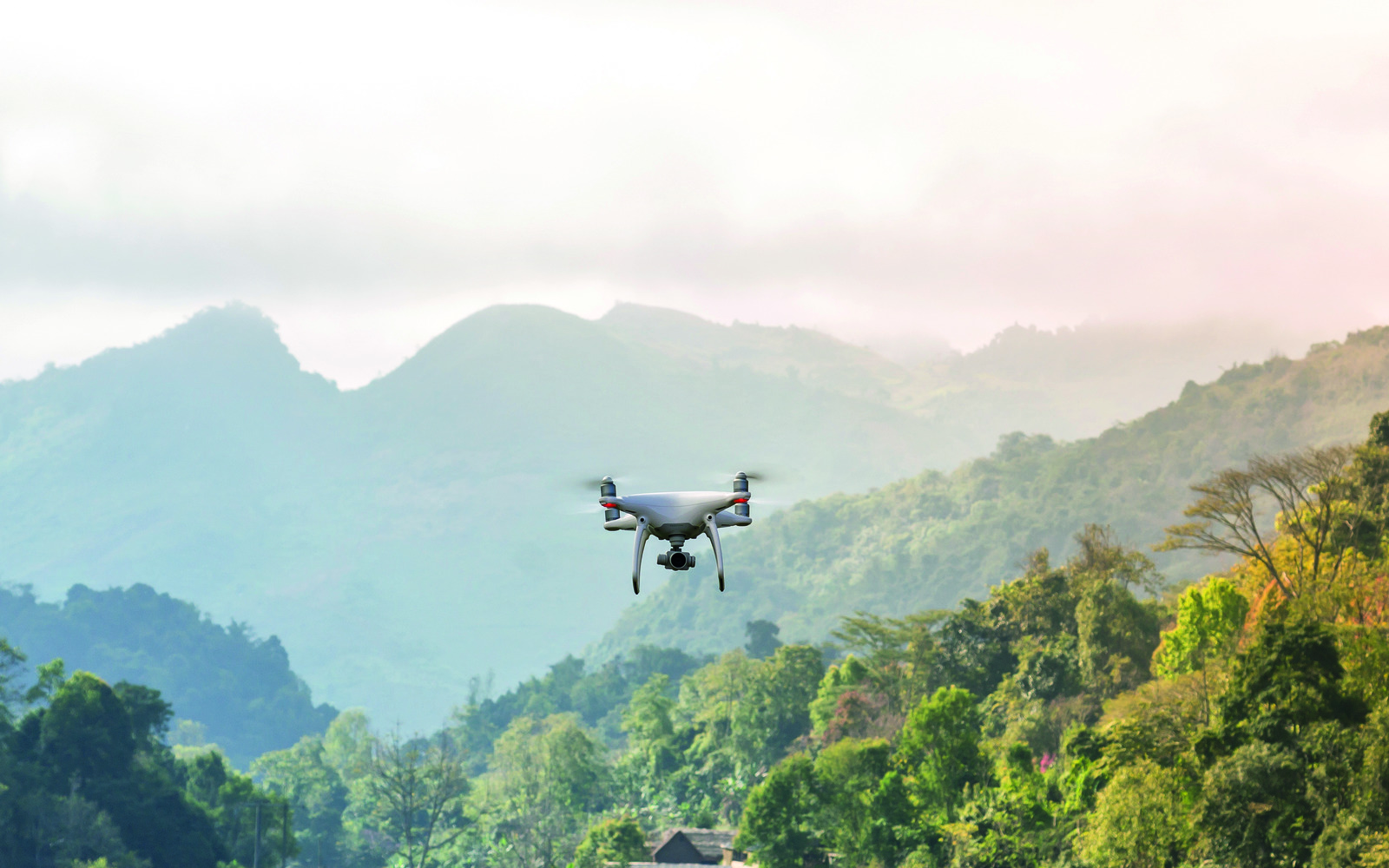
Business orientation of solutions with drone application has been growing over the past few years. Professional networks allow to “reach out” the most remote places in an open space. Therefore, Research & Development is being actively conducted, and based on it, new “gaps” of need and demand are being identified, and requirements for UAV systems are being formed. In a few coming years, drones will possibly become an accessible and, consequently, a large-scale professional tool. They will even help saving the world.
Business and government establishment became aware of unmanned aerial vehicles (UAV, otherwise – drones) potential around 2012. Since then, investments in projects on creating drones has grown rapidly, increasing more than 45 times by 2017, according to Teal Group.
Today, there are no industries remained which would not find a use for these vehicles, but…Already in 2018, funding of specialized startups started to decline, many projects were closed. Meanwhile, government support of the segment continues, research laboratories and big technology corporations continue to develop new models. Seemingly, paradox.
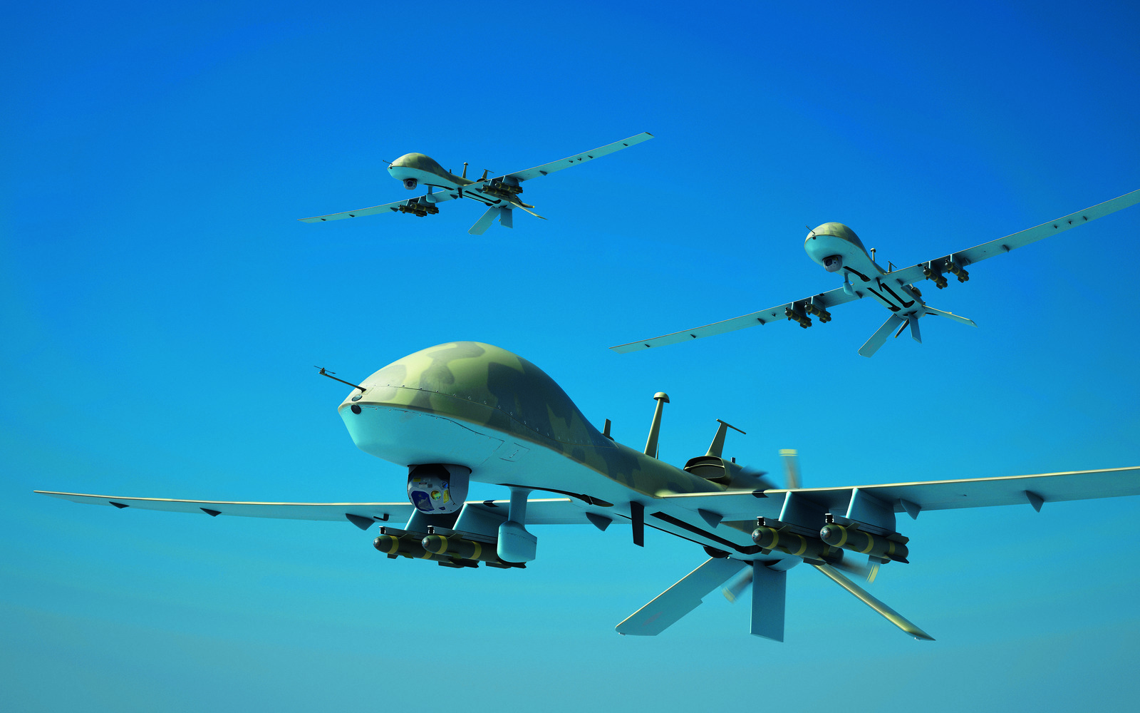
In fact, everything is simple: a new technological stage of drone development has begun. “There was some irrationality around drones, hype caused by its popularity as a hobby”, Bloomberg quoted Kay Wackwitz, founder and CEO of the research company Drone Industry Insights. “We will pass this by, people are returning to the reality”. Today, the needs, leading industries and scopes of application, in which drones dramatically improve performance, are identified. The requirements for UAVs are getting more complicated, trends in demand for primitive appliance for aimless entertainment drop. Analysts agree on the growth of professional application of UAVs. The Economist predicts that global sales market for industrial drones can increase more than seven times over the next 4 years.
Who and Why?
Defence Industrial Complex (DIC) is the first, most active and most demanding UAV user, as well as of many innovations and technologies. According to various analysts (Goldman Sachs, J’son & Partners Consulting), it owns 70-80% of all drone market volume – it is cumulative expenditures on purchasing and manufacturing devices, software development, purchasing additional equipment.
In the civil sector, private use is leading (60-70%), followed by building, mining industry, agriculture, geodesy, and real estate. Nature protection, environmental control, meteorology are mentioned as well. Generally, UAV application makes it much easier and cheaper to solve problems in the field of man and nature interaction. Where not long ago manned aviation (aerial photography, forests condition monitoring and preventing large forest fires, rare species population and migration control, climate change monitoring, water and air analysis etc.) was used, the UAV usage helps reacting faster while reducing costs.
Geodesy and Geological Exploration
Mining industry, perhaps, has the largest fleet of drone. First of all, it is exactly these companies that get daily bread by mineral exploration, cartography, field development control. Secondly, such business can afford major investment in innovations.
As Gazprom experts estimate, UAV application reduces costs of geodetic survey by 2-3 times. In the classic version (land geodetic survey) 1 sq. km. of aerial photography costs 130 thousand rubles, with drones – about 40 thousand rubles. Additional value is that specialists get a more convenient digital orthophotoplan rather than a topographic map. Besides, with UAV the process is much faster. In comparison, land geodetic survey of 50 sq.km takes 75 days, while with the UAV – only 8.
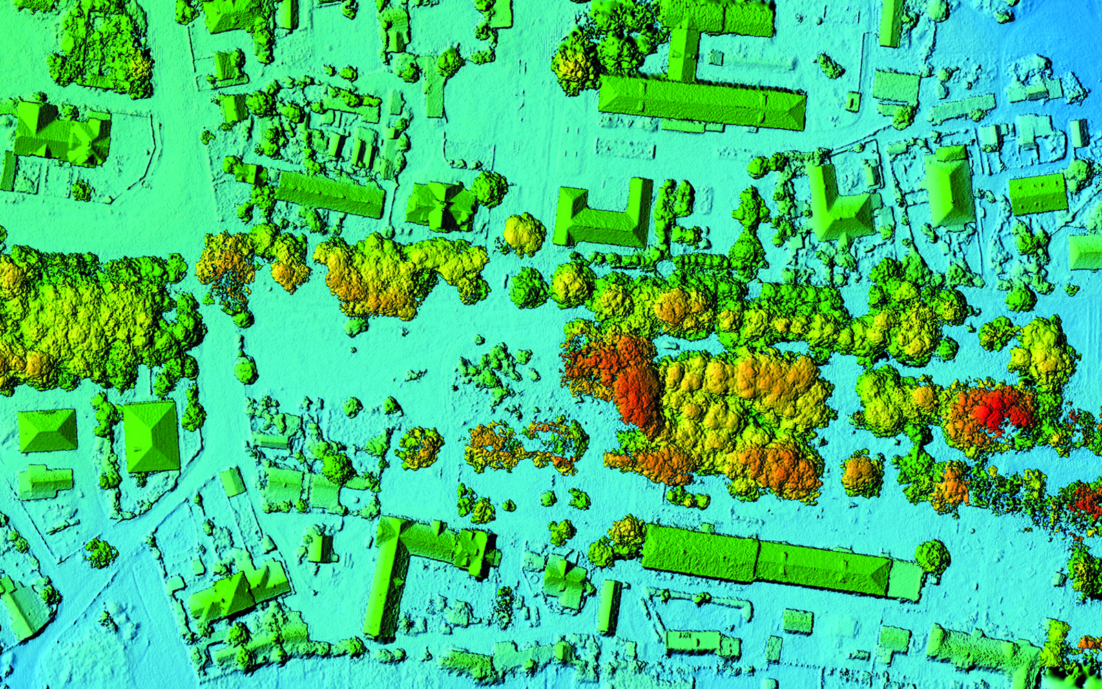
Last year, maps were made worldwide covering the area of 30 million acres in 180 countries. This is twice as much as in 2017, in accordance with DroneDeploy 2018 UAV Industry report.
Another trend linked to professional application of drones and influencing the advanced technologies market is pool development of software solutions, which allow building three-dimensional digital models based on data collected by UAVs. Analysts marked the jump in investment in the development of specialized software since 2017.
Conservation and Protection of the Forests
Forestry has always been clients of aviation since it’s simply impossible to protect forests without it. The most important and difficult task is wildfire suppression. Aviation helps detecting the hot spot and controlling the suppression as well as confirming the data of space monitoring of major fires. An hour of manned aviation is more expensive than the drone, operation and monitoring requires hundreds of flying hours. Today, its own “fleet” of UAVs has the committee of forestry of the Moscow region (30 devices), the Aerial Forest Protection Service (or Avialesookhrana), and the society of voluntary forest firefighters.
We shouldn’t forget that unmanned vehicles is a tool for obtaining data. Its value increases when exchanging the information with all forest protection units and systems. Therefore, the prospects are for integrated solutions. In the summer of 2018, forests were burning in Europe and Spain suffered the most. The country’s government decided to create an automated system for early detection and prevention of forest fires. It is a computer-controlled centralised network of towers equipped with thermal imaging systems and quadrocopters. The camera on the tower is able to “see” a fire from 15 km. The signal is instantly transmitted to a computer broadcasting a call to the fire service and, simultaneously, sending an UAV to the fire spot. The drone equipped with thermal imager, optic camera, online communication system and four temperature sensors ensuring its own safety helps coordinating the actions of firefighters. In June 2019, first tower of the system was tested. Scientists from the University Carlos III of Madrid (UC3M) are involved in the project.
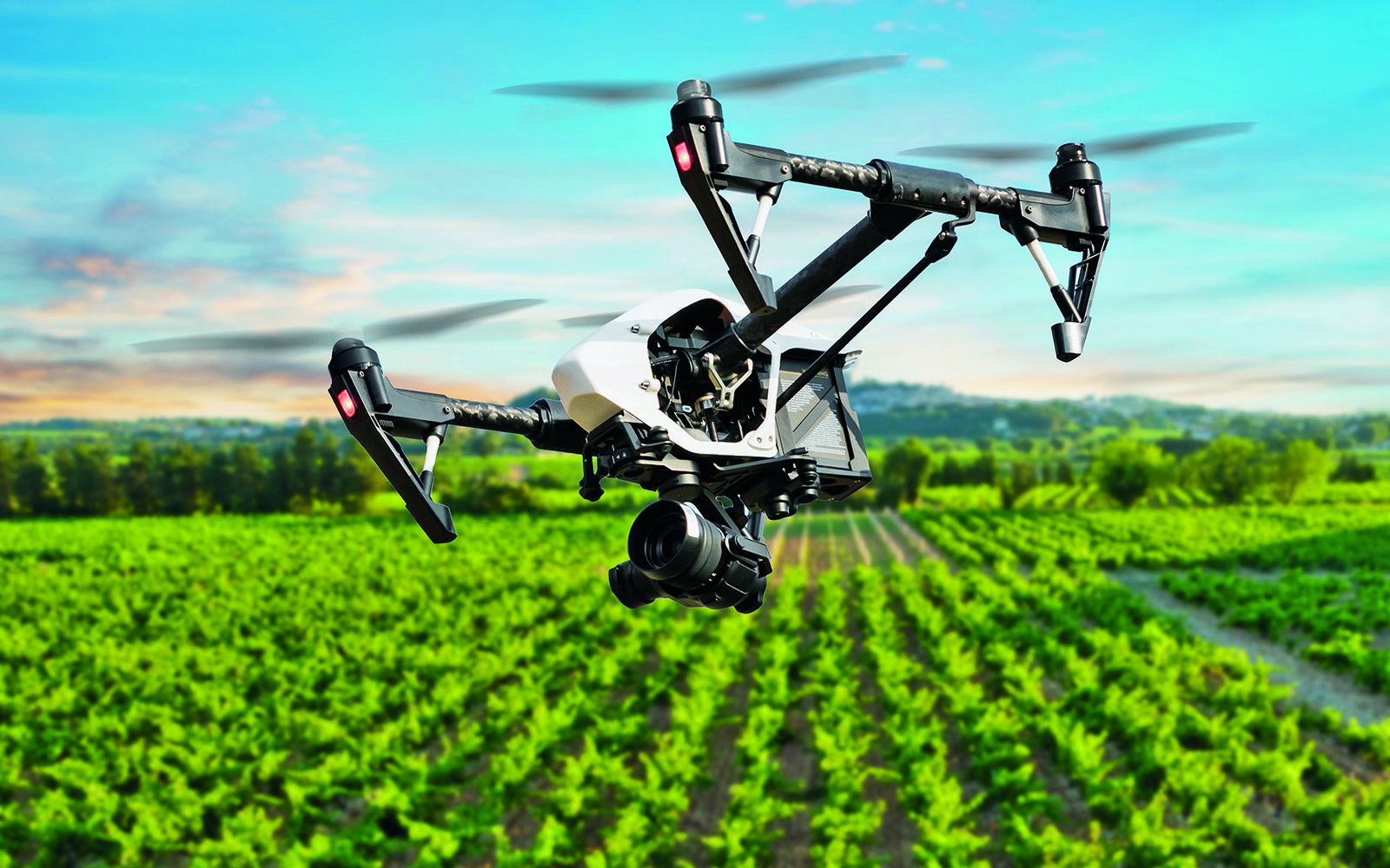
Drones become perfect helpers in controlling wood exploitation as well: carrying out monitoring of authorized and record illegal loggings. They help estimate forests condition: find deadwoods, windbreaks, affected areas and manage areas with new plantings.
Pest Control
Thanks to the UAV application, biological protection of plants is starting to actively develop – pest control with its natural enemies rather than chemical means. In the pilot zone “AgroNTI” in Belgorod region, experiments with trichogramma (a type of parasite insect used to control pests on cereals, leguminous, vegetables and other crops). In the future, this method may be relevant in the forest management. It is impossible to spray maggots from plane because insects die during acceleration at the start. Drones work too slow and economic efficiency decreases. Hand-gliders are dangerous to fly at such a low altitude: the forest belts between fields and the terrain interfere.
Convertiplanes able to fly very low proved to be the best. “Our devices can fly at a height of 10 meters, if there is no obstacles, and 50 meters, if, for example, there are power lines on the field”, says Vasily Lukashov, CEO of Innovative Integrated Systems. “As Russian Agricultural Center of Belgorod region estimates, application of our UAVs reduces the cost of spraying entomophages”. The company has already carried out works for agricultural enterprises of Tambov region, Belgorod region, the Republic of Mordovia, and Uzbekistan.
Fauna Study
Conservation and restoration of rare animals is a noble and difficult mission that rests on the shoulders of environmental organizations. Meanwhile, they have very limited resources unlike mining companies. Unlike forests, wild animals don’t represent a potential source of income for the government. Therefore, it is usually enthusiasts, patrons and sponsors, who introduce innovations in the sphere.
Observation over the animal migration is a source of climate change data. All programs on combating negative change are based on the data. Over the past 3 years, more than 50 species in Russia have become objects of constant scientific observations with the help of UAV application. “These are big predators (Amur tigers, brown and Himalayan bears, wolves), hoof mammals (moose, wild boars, red deer, caribous, musk sheep and saigas), marine colonial birds (seagulls, terns, quillemots, puffins, auks), many species of waders and anseriformes”, lists Dmitry Dobrynin, the MSU Marine Research Center Chief Expert on remote sensing, WWF Russia (World Wildlife Fund) Expert on remote sensing methods. “The run of Pacific salmon to breed, assessment of spring froggery, monitoring of seals and belugas activity in coastal waters – these are exotic tasks being carried out by UAVs”, he clarifies.
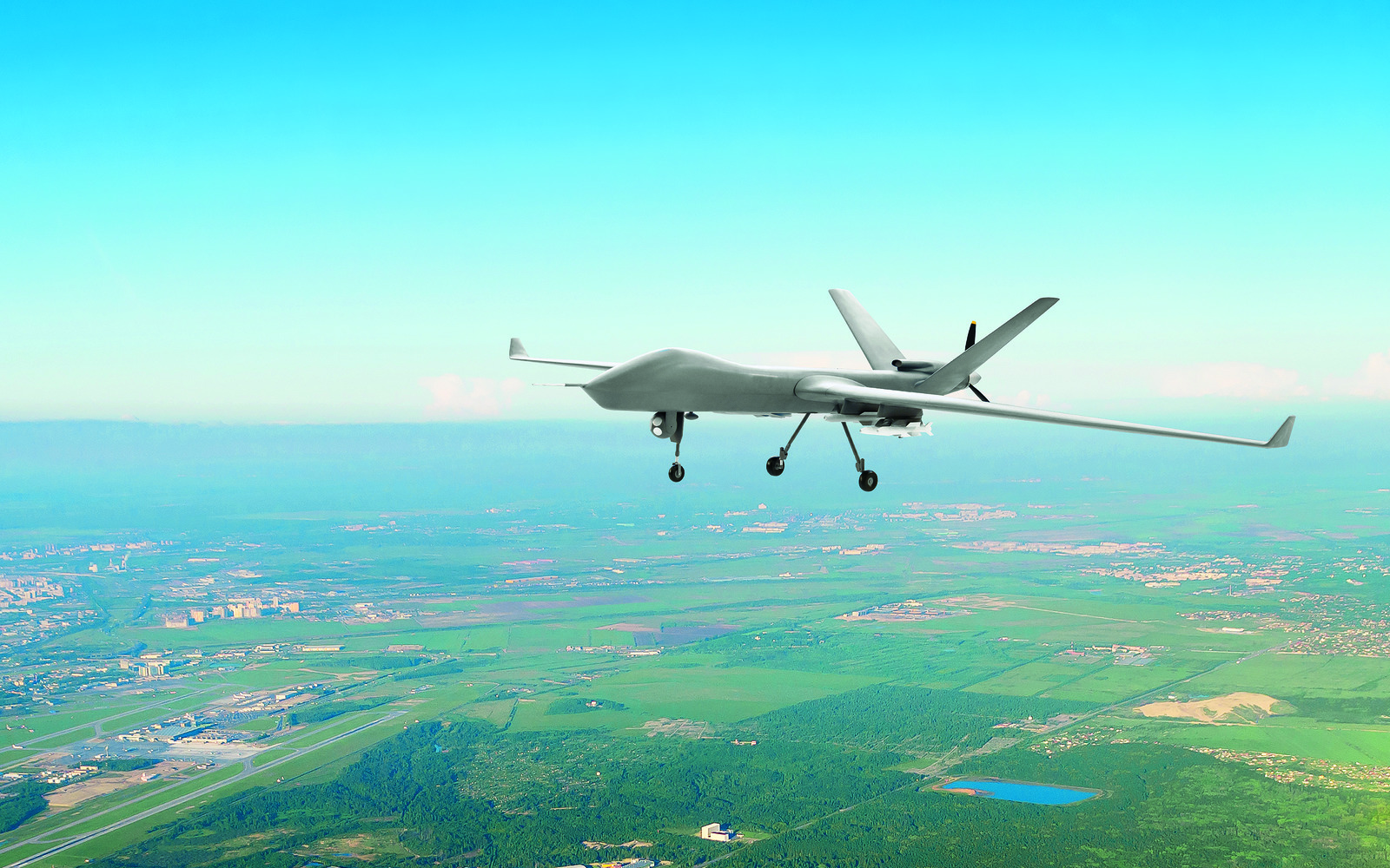
When exploring animals and their interactions, analyzing their spatial distribution in different times of the day or season, it is not enough to collect just a video or a few good photos. “Systematically organized, constantly updating, convenient to comparing information is required. Current level of UAV development allows to get it”, says Dmitry Dobrynin. “Modern drones can carry big photo and video recorders, GLONASS and GPS sensors, carry out not only the survey, but also supplement it with information in the near, short-wave infrared and thermal (temperature) spectral ranges”, he describes.
Environmental Control
It is very easy to imagine a drone making air and water samples. Seemingly, there is no need in advanced technologies for ecological control tasks. However, analysts estimate maturity level of drone application in the field as average compared to, for example, agriculture.
Perhaps, the gap will soon be eliminated with state level projects. Chinese government decided to maintain the purity of the country’s longest river – the Yangtze. Twenty drones equipped with high-resolution infrared cameras will search for disposal of sewage. The patrol perimeter is almost a thousand kilometers. Unfortunately, technological details of the project are still unknown.
In April of this year, Remotely Piloted Aircraft System (RPAS) tests have started in Denmark. Helicopter drones with special gas analyzers monitor the level of hazardous substances emission from tank, following ships at a distance of nearly 100 m, one measurement takes 5-10 minutes. The UAVs weight 235 kg and can fly for 4 hours.
There are large-scale project in Russia as well. In the Chelyabinsk region, works on the elimination of the Korkinsk coal mine with an area of about 800 hectares has started. Coal was mined by the open pit from a depth of more than half a kilometer – not just the “largest pit in Europe”, but an unprecedented case in world practice. By 2016, coal was mined, whereas open-cut became a hotbed of natural endogenous fires, a source of emission of hydrogen sulfide and other harmful substances. In July of this year, specialists from Saint-Petersburg Mining University had been taking samples of soils, atmospheric air and surface waters with the help of drones for 7 days. The procedure will be repeated constantly until 2042. It is planned to make a water reservoir with landscape gardening out of the pit.
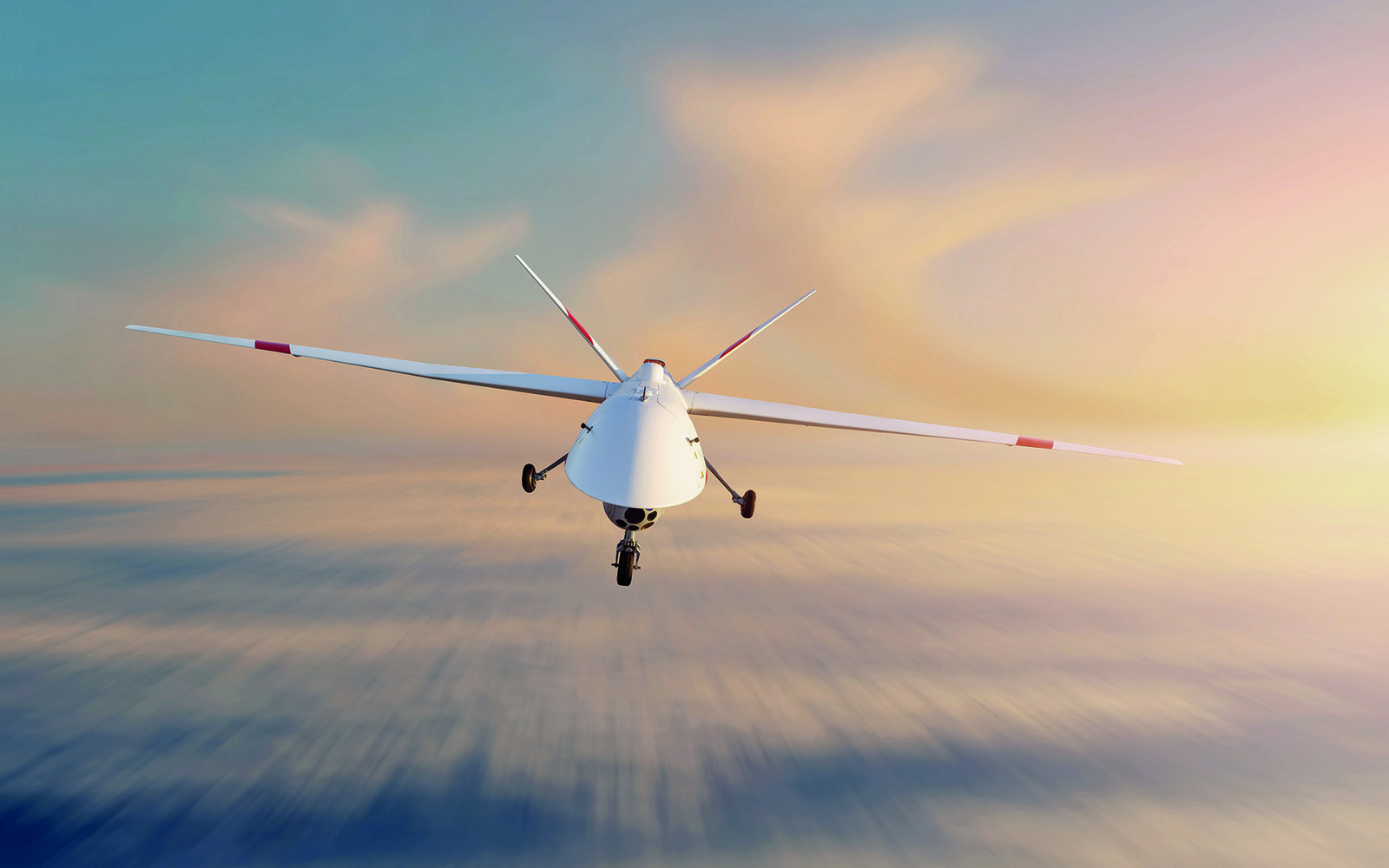
In general, there are no boundaries for multipurpose application of UAVs. Kyrgyz government controls forests condition and fights against poachers using DJI Phantom 4. When the public demanded to deal with smog in the capital, drones were used to monitor air quality in Bishkek.
Problems Define the Prospects
In fact, unmanned aerial vehicles are slowly replacing general aviation, as they are cheaper and more functional. Unlike airplanes, they do not have a blind zone above them, they are able to carry equipment for broadcasting data online. Information is obtained in a convenient format to be decrypted and digitally processed which reduces time for analysis. Surely, it is incomparably easier to organize take-off of a drone rather than airplane, and many times cheaper.
Nevertheless, the UAV technologies do not stay static. As mentioned earlier, professionals are far stricter towards equipment rather than amateurs. Their problems determine trends of developments. For example, an image or data must be transmitted online to smartphones, tablets – the pool of relevant mobile apps is just being formed, there are no leaders yet.
Flight planning application should not just become cheaper, but also learn to calculate simultaneous interactive operation of several devices considering the capabilities of attached equipment, battery capacity, and terrain features. Collision avoidance systems will be required. Drones are already able to perform consistently during the show, but this is just the tip of the iceberg, which has no connections with reality. Today, there are about five providers of professional flight planning software in Russia. Their solutions are very expensive. Therefore, today a service model that will pass the stage of vertical integration as the market develops is in high demand. There will be major leading companies providing comprehensive services on a turnkey basis, including rental of drones, attachments, managements software, analytics, etc.
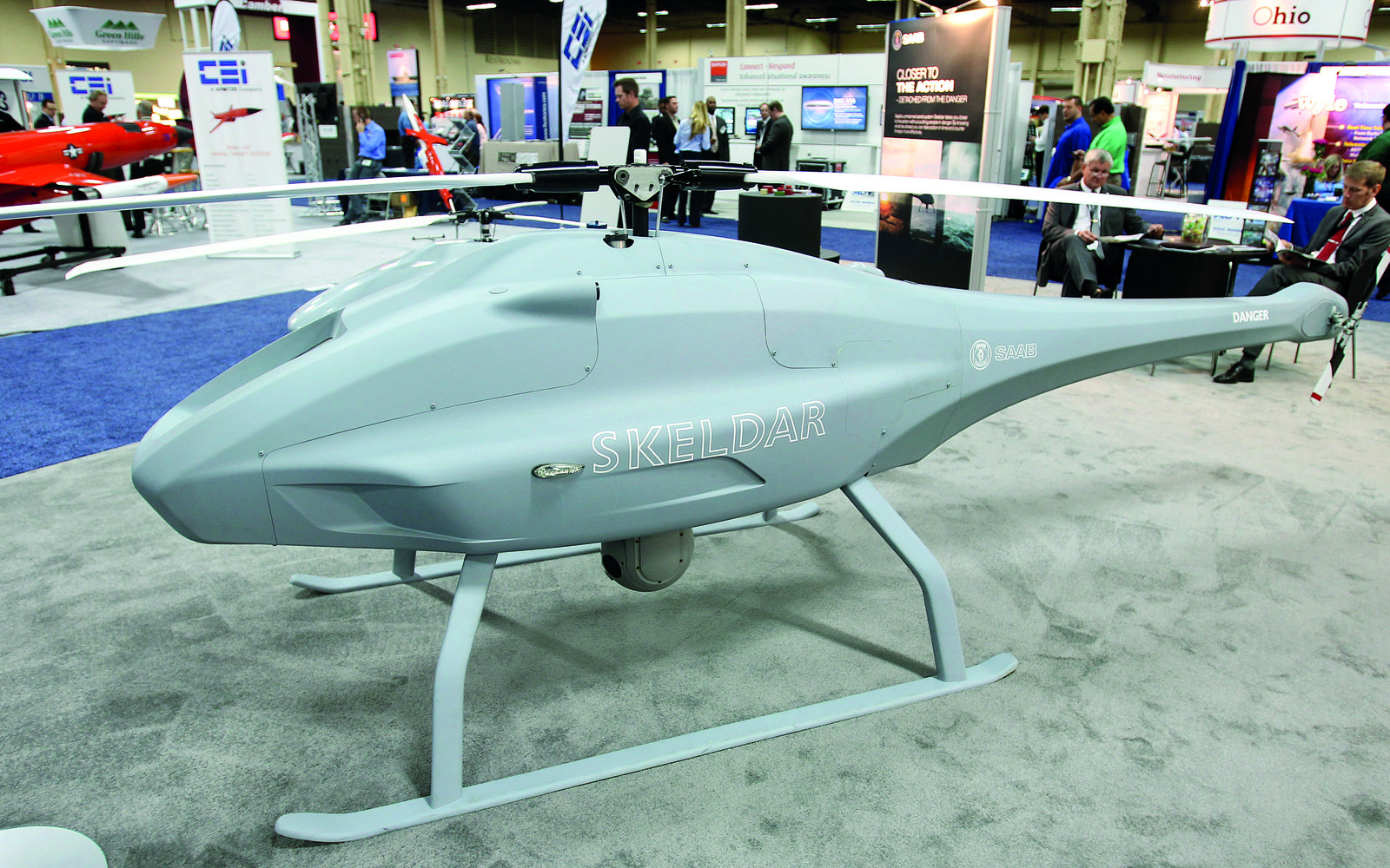
One of the most important issues in the development of the UAV shooting technologies is determining the frame centre for subsequent blending of frames. Today we have to install ground markers serving as reference points for the future topographic model. The alternative is to use expensive ground-based GNSS stations that help determine the centre with an accuracy of up to a centimetre. For comparison, a standard amateur GPS receiver provides an accuracy of 15-20 m. When talking about population control, we need several constantly operating stations. “The equipment of GNSS-station is expensive and bulky, additional efforts are required to integrate with the on-board navigation equipment of the UAV”, says Alexandra Barymova, geologist, the UAV Specialist of MSU Marine Research Centre. “The development of domestic GNSS-stations and its interface as a software for drones would give a significant boost in the field of animal exploration, protection”. Possibly, in a year or two stations will become smaller and cheaper, but for now they cost a million rubles.
MAI Competencies
The Unmanned Aerial Vehicles Centre of MAI opened in 2017. Its specialists conduct research and identify areas of industrial issues in which UAV application is economically justified. Based on the results of research, complex industry solutions are born.
The MAI UAV Centre is not only a research and development centre, but also a production base. The production cycle begins with design, construction and assembly of devices and sensors, and ends with the creation of unique on-board control systems. In fact, we are talking about the development of fully-fledged flight control centres for specific industry tasks.
*Flight financing. In the first half of 2019, investments in UAV amounted to $190 million. Venture funding of drones.
*Trends. At the end of 2018, analysts estimated the global UAV market at $14.1 billion. It could be more than triple in 5 years, up to $43 billion, according to the Drone Market Report 2019 from the Drone Industry Insights. At the same time, the market for industrial drones is about 10%. According to the Economist’s forecast, it could exceed $1.4 billion in 2019 and reach $10 billion in 2023. Against the background of falling investment, it can be assumed that amateur demand is satisfied with the existing models, and requirements for professional drones are toughen. The UAV market has reached a critical point in its technological development.